EDUCATIONAL
FORUM
FORUM
RESOURCE
LIBRARY
LIBRARY
DISTANCE
LEARNING
LEARNING
SCHOOL LEAVING
DIPLOMAS
DIPLOMAS
STATISTICAL
DIRECTORY
DIRECTORY
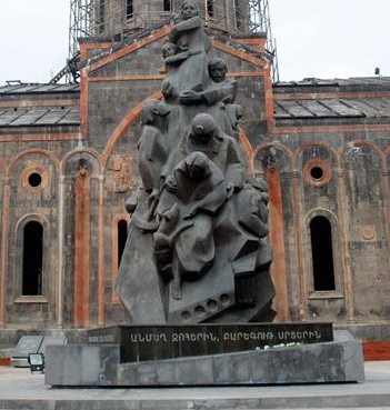
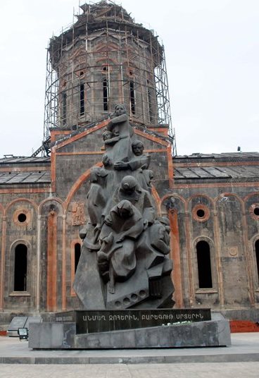
The 1988 Armenian earthquake, also known as the Spitak earthquake (Armenian: Սպիտակի երկրաշարժ Spitaki yerkrašarž) occurred in the northern region of Armenia (then part of the Soviet Union) on December 7 at 11:41 local time (07:41 UTC). The earthquake measured 6.8 on the surface wave magnitude scale and had a maximum perceived intensity of X (Devastating) on the Medvedev–Sponheuer–Karnik scale. The region that the earthquake occurred is vulnerable to occasional large and destructive earthquakes and is part of a larger active seismic belt that stretches from the Alps to the Himalayas. Activity in the area is associated with tectonic plate boundary interaction and the source of the event was a slip of a thrust fault just to the north of Spitak.
Seismologists thoroughly studied the effects of the Spitak event, including the mainshock and aftershock fault rupture mechanisms and were on site setting up temporary seismometers before the end of 1988. Earthquake engineering experts scrutinized building construction styles and found fault in the poorly constructed apartments and other buildings that were built during the Era of Stagnation under the rule of Leonid Brezhnev. The cities of Spitak, Leninakan (Gyumri), and Kirovakan (Vanadzor) were greatly affected with large losses of life and devastating effects to buildings and other structures. A number of the smaller outlying villages away from the larger population centers were also severely affected.