EDUCATIONAL
FORUM
FORUM
RESOURCE
LIBRARY
LIBRARY
DISTANCE
LEARNING
LEARNING
SCHOOL LEAVING
DIPLOMAS
DIPLOMAS
STATISTICAL
DIRECTORY
DIRECTORY
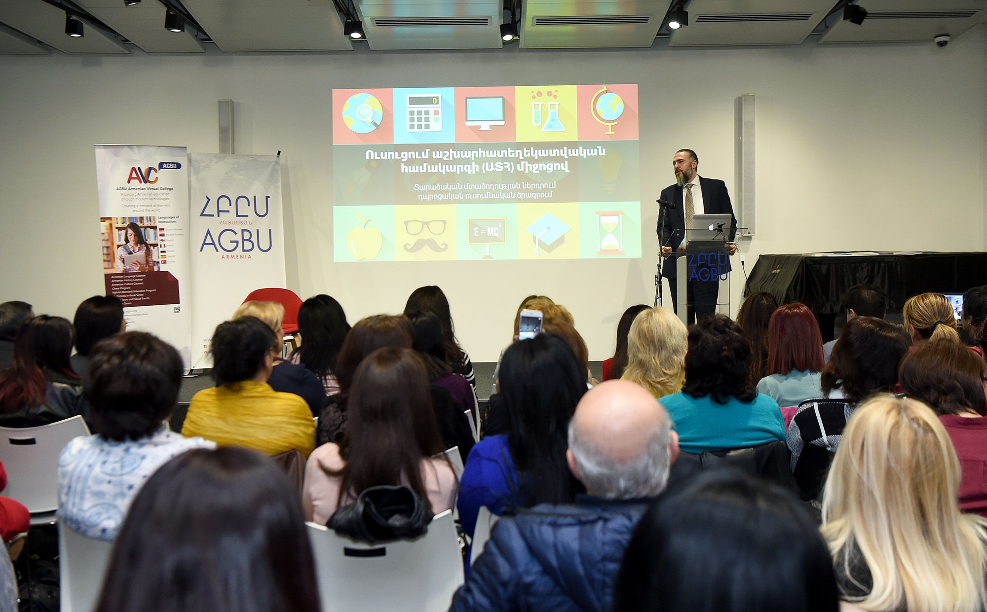
The cooperation between the RA Ministry of Education and Science, the “KARDÉS” organization, the AGBU Armenia and the Armenian Virtual College of AGBU has been launched in the Armenian General Benevolent Union to introduce the Geographical Information System (GIS) in Armenian schools as a new educational methodology based on educational online technologies. For that purpose, today, on the International Day of GIS, the first seminar-training was organized for teachers; about 100 participants from Yerevan and the regions of Lori, Kotayk, Armavir and Ararat have participated in that seminar-training in order to learn about the GIS system, its importance as an educational instrument and to learn how to use this tool to analyze the locality.
The Adviser to the RA Minister of the Education and Science, Gohar Mamikonyan, welcomed the participants and noted that the GIS in schools as a digital tool was introduced to the Ministry of Education and Science, and it has received a positive feedback from the National Institute of Education. “The GIS, as an tool in general education, is applied in many countries, particularly within the STEM/STSW and not only. We hope that the teachers who participate in this program will get acquainted with this innovation and will try to practice it in their classrooms, thus contributing to the improving of the quality of education. The teachers will continuously be trained on the platform provided by the Armenian Virtual College, as a result of which we will try to find ways to spread it in the Armenian schools, on a long-term objective. The "KARDÉS" organization will provide the tool free of charge with its Armenian translation", noted Gohar Mamikonyan and added that 5 schools and 10 teachers have been selected from each participating region (from each school 2 Geography and Maths teachers have been presented, who are teaching 2nd through 12th graders). The founder and director of "KARDÉS", Bagrat Balabanyan, noted that the GIS is an integrity of tasks directed to solve problems, based on some inquiries and criteria. The GIS includes field work and provides professional skills in required areas. "The implementation of GIS will promote the development of the "STEM/STSW" Education in Armenia. This system will teach students how to use, create and distribute maps, collect and import data, carry out various analysis and work with voluminous data. As a result, the students will explicate their critical and spatial thinking", said Bagrat Balabanyan.
"The GIS is an educational, innovative instrument that AVC has employed in recent years. We will invest our experience and knowledge, together with "KARDÉS", to incorporate advanced online education technologies into Armenian schools", said Yervand Zoryan, the founder and president of AVC and the member of the Central Department of AGBU, who participated in the event via Skype. During this event a memorandum of understanding was signed between "KARDÉS" and the Armenian Virtual College of AGBU.
Source: edu.am